Knightswood Golf Course
Introduction
The photograph on this page of Knightswood Golf Course by G Laird as part of the Geograph project.
The Geograph project started in 2005 with the aim of publishing, organising and preserving representative images for every square kilometre of Great Britain, Ireland and the Isle of Man.

There are currently over 7.5m images from over 14,400 individuals and you can help contribute to the project by visiting https://www.geograph.org.uk
Knightswood Golf Course
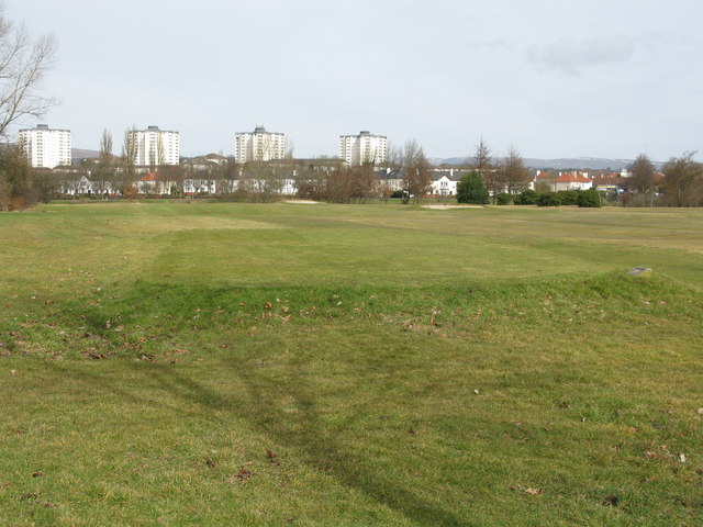
Image: © G Laird Taken: 20 Mar 2010
Knightswood Golf Course is located just four miles west of Glasgow city centre. It is a 9 hole flat and open parkland course. The Campsie Fells can be seen in the distance to the right in the photograph. To the left in the distance, a small part of the Kilpatrick Hills can also be seen between 2 of the tower blocks.
Images are licensed for reuse under creativecommons.org/licenses/by-sa/2.0
Image Location
Latitude
55.894189
Longitude
-4.359034