Pondery Hill
Introduction
The photograph on this page of Pondery Hill by Mark Nightingale as part of the Geograph project.
The Geograph project started in 2005 with the aim of publishing, organising and preserving representative images for every square kilometre of Great Britain, Ireland and the Isle of Man.

There are currently over 7.5m images from over 14,400 individuals and you can help contribute to the project by visiting https://www.geograph.org.uk
Pondery Hill
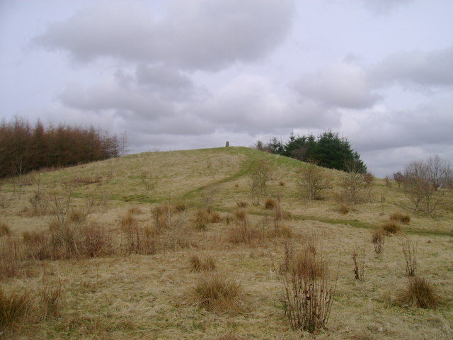
Image: © Mark Nightingale Taken: 23 Mar 2010
Pondery Hill is topped by the trig point visible here. Despite being barely noticeable from the lane passing to its west, its summit is higher than any point for a few miles in every direction.
Images are licensed for reuse under creativecommons.org/licenses/by-sa/2.0
Image Location
Latitude
55.703907
Longitude
-4.662718