Country Park near Chilton Lane Estate
Introduction
The photograph on this page of Country Park near Chilton Lane Estate by Philip Barker as part of the Geograph project.
The Geograph project started in 2005 with the aim of publishing, organising and preserving representative images for every square kilometre of Great Britain, Ireland and the Isle of Man.

There are currently over 7.5m images from over 14,400 individuals and you can help contribute to the project by visiting https://www.geograph.org.uk
Country Park near Chilton Lane Estate
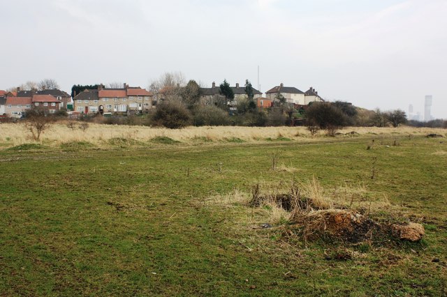
Image: © Philip Barker Taken: 24 Mar 2010
This photograph shows a view of some of the open land that makes up the Country Park that lies between the A19(T) road (behind the photographer) and the Chilton Lane Estate. The houses shown in this picture form part of Imperial Road; some of the industrial area of Teesside is just visible on the horizon in the right-hand side of the image. The picture was taken looking in a north-easterly direction towards Haverton Hill.
Images are licensed for reuse under creativecommons.org/licenses/by-sa/2.0
Image Location
Latitude
54.58833
Longitude
-1.291708