Peterhead Bay
Introduction
The photograph on this page of Peterhead Bay by Martyn Gorman as part of the Geograph project.
The Geograph project started in 2005 with the aim of publishing, organising and preserving representative images for every square kilometre of Great Britain, Ireland and the Isle of Man.

There are currently over 7.5m images from over 14,400 individuals and you can help contribute to the project by visiting https://www.geograph.org.uk
Peterhead Bay
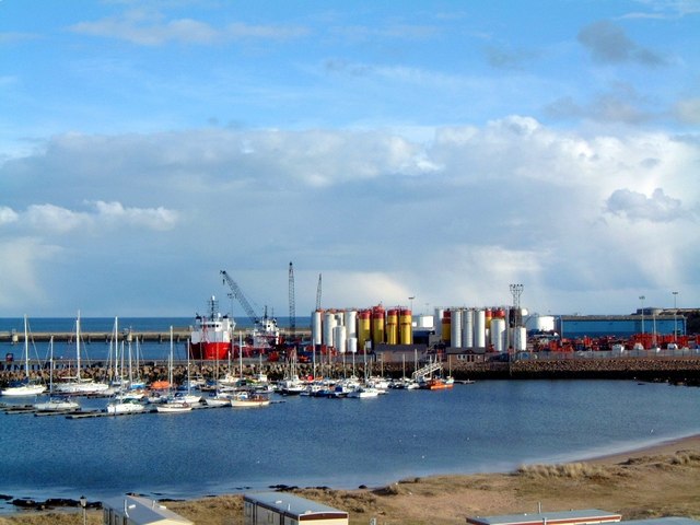
Image: © Martyn Gorman Taken: Unknown
In the background the breakwater built by convict labour. In the middle distance silos of drilling mud for the offshore oil industry and yachts berthed in the Peterhead marina. In the foreground the roofs of holiday caravans and the "Lido" sands.
Images are licensed for reuse under creativecommons.org/licenses/by-sa/2.0
Image Location
Latitude
57.496852
Longitude
-1.796441