Level crossing
Introduction
The photograph on this page of Level crossing by Dave Fergusson as part of the Geograph project.
The Geograph project started in 2005 with the aim of publishing, organising and preserving representative images for every square kilometre of Great Britain, Ireland and the Isle of Man.

There are currently over 7.5m images from over 14,400 individuals and you can help contribute to the project by visiting https://www.geograph.org.uk
Level crossing
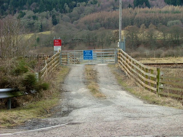
Image: © Dave Fergusson Taken: 21 Mar 2010
The crossing is on the Inverness/Perth railway line and allows access to the River Tay and farmland.
Images are licensed for reuse under creativecommons.org/licenses/by-sa/2.0
Image Location
Latitude
56.622984
Longitude
-3.635752