Wentworth Parks Estate
Introduction
The photograph on this page of Wentworth Parks Estate by Mick Kaye as part of the Geograph project.
The Geograph project started in 2005 with the aim of publishing, organising and preserving representative images for every square kilometre of Great Britain, Ireland and the Isle of Man.

There are currently over 7.5m images from over 14,400 individuals and you can help contribute to the project by visiting https://www.geograph.org.uk
Wentworth Parks Estate
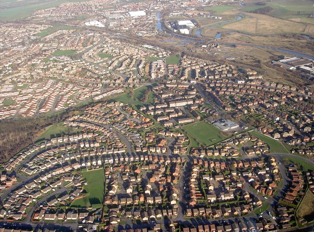
Image: © Mick Kaye Taken: Unknown
Almost all of the estate showing Celandine Rise from left to right the road drops steeply but cannot be seen from the air photo, middle right standing out well is the playing field of Saint Thomas junior & infant school, upper right shows the LNER railway, canal & river Don all close together.
Images are licensed for reuse under creativecommons.org/licenses/by-sa/2.0
Image Location
Latitude
53.478532
Longitude
-1.309865