Houses beyond the fields
Introduction
The photograph on this page of Houses beyond the fields by Rob Hinkley as part of the Geograph project.
The Geograph project started in 2005 with the aim of publishing, organising and preserving representative images for every square kilometre of Great Britain, Ireland and the Isle of Man.

There are currently over 7.5m images from over 14,400 individuals and you can help contribute to the project by visiting https://www.geograph.org.uk
Houses beyond the fields
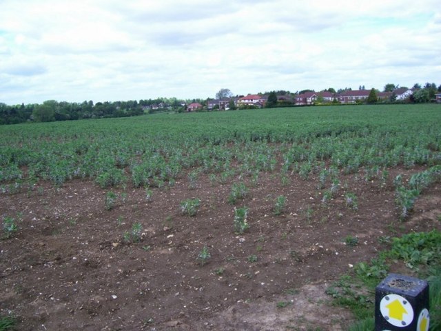
Image: © Rob Hinkley Taken: 29 May 2006
Looking NE from the footpath junction at TL128115, over the fields we can see the houses which just creep into the NE corner of the square.
Images are licensed for reuse under creativecommons.org/licenses/by-sa/2.0
Image Location
Latitude
51.792589
Longitude
-0.365843