
The original road to St Leonard's Hospital
Introduction
The photograph on this page of The original road to St Leonard's Hospital by David Clark as part of the Geograph project.
The Geograph project started in 2005 with the aim of publishing, organising and preserving representative images for every square kilometre of Great Britain, Ireland and the Isle of Man.

There are currently over 7.5m images from over 14,400 individuals and you can help contribute to the project by visiting https://www.geograph.org.uk
The original road to St Leonard's Hospital
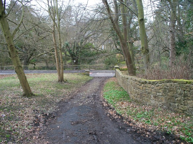
Image: © David Clark Taken: 23 Mar 2010
This shows the line of the original track to Pigdon via St Leonard's road. The modern B6343 can be seen running across the Picture, east to west. The tarmacadam road to Pigdon runs uphill towards you just out of the photo to the left. The gap in the estate wall can be seen where the track joins the B road. It certainly looks as if this track is in regular use, probably by farm vehicles cutting off the sharp egress from the B6343.
Images are licensed for reuse under creativecommons.org/licenses/by-sa/2.0
Image Location

Latitude
55.168191
Longitude
-1.729024