Pevensey By-Pass
Introduction
The photograph on this page of Pevensey By-Pass by Simon Carey as part of the Geograph project.
The Geograph project started in 2005 with the aim of publishing, organising and preserving representative images for every square kilometre of Great Britain, Ireland and the Isle of Man.

There are currently over 7.5m images from over 14,400 individuals and you can help contribute to the project by visiting https://www.geograph.org.uk
Pevensey By-Pass
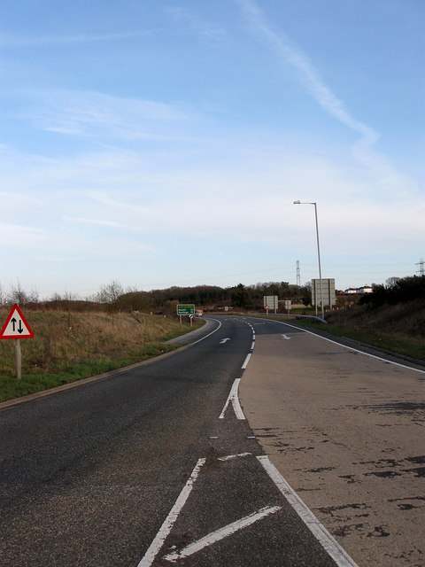
Image: © Simon Carey Taken: 21 Mar 2010
The western end of the pass which begins at the junction with the A22 then heads east to Pevensey Roundabout where the A27 ends at the junction with the A259. The by-pass was built in the early 1990s to take traffic away from Stone Cross, Westham and Pevensey.
Images are licensed for reuse under creativecommons.org/licenses/by-sa/2.0
Image Location
Latitude
50.820445
Longitude
0.275656