Tottens Crossroads, Armaghbrague
Introduction
The photograph on this page of Tottens Crossroads, Armaghbrague by Dean Molyneaux as part of the Geograph project.
The Geograph project started in 2005 with the aim of publishing, organising and preserving representative images for every square kilometre of Great Britain, Ireland and the Isle of Man.

There are currently over 7.5m images from over 14,400 individuals and you can help contribute to the project by visiting https://www.geograph.org.uk
Tottens Crossroads, Armaghbrague
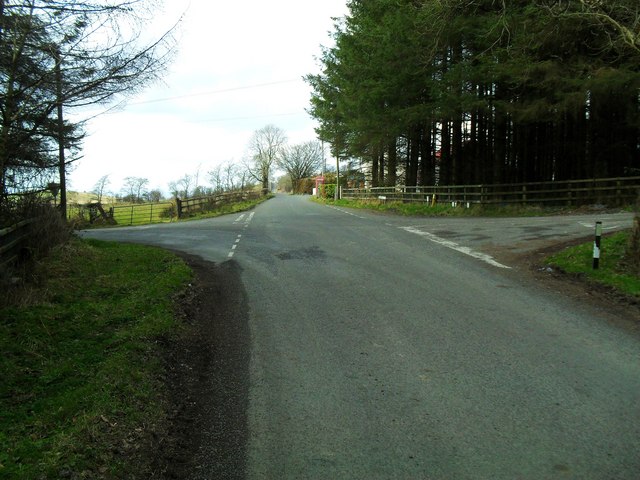
Image: © Dean Molyneaux Taken: 21 Mar 2010
The name of this crossroads appears as early on as the 1830s O.S. Series - at that time the road [from left to right] was the main road from Keady to Newtownhamilton. This has long since been rerouted as the A29, a few hundred yards to the south. The road running straight ahead is the Armaghbrague Road - which makes a link between Altnamachin and Armagh. Townland of Armaghbrague.
Images are licensed for reuse under creativecommons.org/licenses/by-sa/2.0
Image Location
Latitude
54.216374
Longitude
-6.630634