Road junction near Borough Farm
Introduction
The photograph on this page of Road junction near Borough Farm by Derek Harper as part of the Geograph project.
The Geograph project started in 2005 with the aim of publishing, organising and preserving representative images for every square kilometre of Great Britain, Ireland and the Isle of Man.

There are currently over 7.5m images from over 14,400 individuals and you can help contribute to the project by visiting https://www.geograph.org.uk
Road junction near Borough Farm
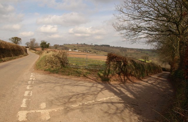
Image: © Derek Harper Taken: 16 Mar 2010
On the left is the ridge road following the watershed between the Exe and Culm along high ground to Tiverton. The lane to the right drops across the headwater valleys of the Fulford Water to pass Seckerleigh Farm. Ahead is Rhode Farm, in Image
Images are licensed for reuse under creativecommons.org/licenses/by-sa/2.0
Image Location
Latitude
50.87574
Longitude
-3.469162