Trinity Methodist Church Centre, Churchfields
Introduction
The photograph on this page of Trinity Methodist Church Centre, Churchfields by P L Chadwick as part of the Geograph project.
The Geograph project started in 2005 with the aim of publishing, organising and preserving representative images for every square kilometre of Great Britain, Ireland and the Isle of Man.

There are currently over 7.5m images from over 14,400 individuals and you can help contribute to the project by visiting https://www.geograph.org.uk
Trinity Methodist Church Centre, Churchfields
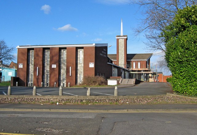
Image: © P L Chadwick Taken: 21 Mar 2010
The church was opened in 1976, mainly to replace an existing church, which was demolished to make way for Kidderminster's ring road. Sadly the new church was the victim of an arson attack in 2008, which did much damage, but it is still functioning. The greater part of the church is in an adjoining square, but this end is in the present square. Image
Images are licensed for reuse under creativecommons.org/licenses/by-sa/2.0
Image Location
Latitude
52.390671
Longitude
-2.249319