War memorial, Higher Town, Minehead
Introduction
The photograph on this page of War memorial, Higher Town, Minehead by Jaggery as part of the Geograph project.
The Geograph project started in 2005 with the aim of publishing, organising and preserving representative images for every square kilometre of Great Britain, Ireland and the Isle of Man.

There are currently over 7.5m images from over 14,400 individuals and you can help contribute to the project by visiting https://www.geograph.org.uk
War memorial, Higher Town, Minehead
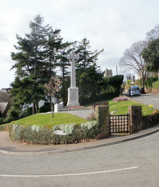
Image: © Jaggery Taken: 21 Mar 2010
Located between Martlet Road on the left and Weirfield Road on the right.
Images are licensed for reuse under creativecommons.org/licenses/by-sa/2.0
Image Location
Latitude
51.210169
Longitude
-3.477349