Butterleigh Mill
Introduction
The photograph on this page of Butterleigh Mill by Derek Harper as part of the Geograph project.
The Geograph project started in 2005 with the aim of publishing, organising and preserving representative images for every square kilometre of Great Britain, Ireland and the Isle of Man.

There are currently over 7.5m images from over 14,400 individuals and you can help contribute to the project by visiting https://www.geograph.org.uk
Butterleigh Mill
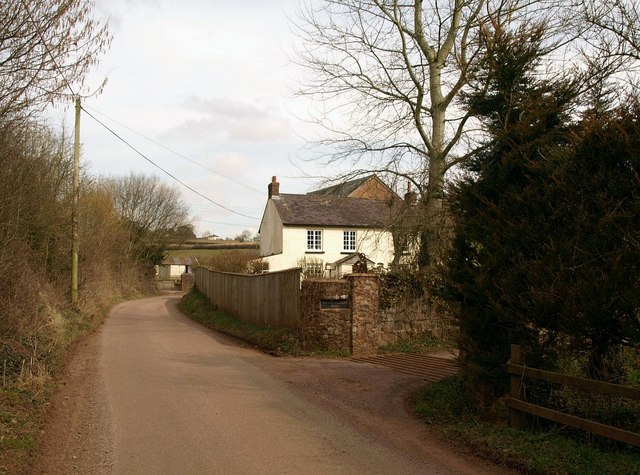
Image: © Derek Harper Taken: 16 Mar 2010
Seen from the bridge across the Burn River, just north of the junction shown in Image
Images are licensed for reuse under creativecommons.org/licenses/by-sa/2.0
Image Location


Leaflet Map data © OpenStreetMap
Latitude
50.859773
Longitude
-3.465961