Bridleway to Lower Beobridge, Shropshire
Introduction
The photograph on this page of Bridleway to Lower Beobridge, Shropshire by Roger D Kidd as part of the Geograph project.
The Geograph project started in 2005 with the aim of publishing, organising and preserving representative images for every square kilometre of Great Britain, Ireland and the Isle of Man.

There are currently over 7.5m images from over 14,400 individuals and you can help contribute to the project by visiting https://www.geograph.org.uk
Bridleway to Lower Beobridge, Shropshire
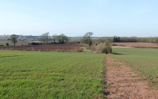
Image: © Roger D Kidd Taken: 16 Mar 2010
The bridleway crosses the crop field here and enters a narrow bush enclosed lane to the right of the apparent green way in the mid distance, which is not the route; it is just an uncultivated field border. Comparing the current Google satellite images with today's observations shows the fields around here are commonly rotated between potatoes, cereals and rape. The Wrekin can be seen centrally on the skyline about twelve miles away.
Images are licensed for reuse under creativecommons.org/licenses/by-sa/2.0
Image Location
Latitude
52.515868
Longitude
-2.312774