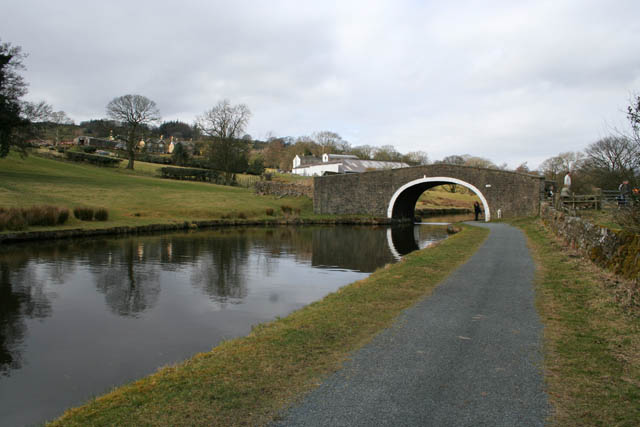
Mill Hill Bridge
Introduction
The photograph on this page of Mill Hill Bridge by Kate Jewell as part of the Geograph project.
The Geograph project started in 2005 with the aim of publishing, organising and preserving representative images for every square kilometre of Great Britain, Ireland and the Isle of Man.
There are currently over 7.5m images from over 14,400 individuals and you can help contribute to the project by visiting https://www.geograph.org.uk

Image: © Kate Jewell Taken: 21 Mar 2010
Number 149 on the Leeds and Liverpool Canal. This 6 mile stretch is the highest part of the canal at 487 feet above sea level. The farm in the distance is Wood End Farm. A public footpath, part of an extensive network of paths in the area, crosses the canal here and you can see a group of walkers taking a break by the bridge. The canal towpath is also a long distance cycle route. The white building is County Brook Mill, a weaving factory owned by Mitchell Interflex. One of the traditional fabrics they produce is narrow striped fabrics for deck chairs. See Image for a historic view of the old mill, built in 1712, now used for Sales and Administration.

