Cattle grid on Mynydd Bach
Introduction
The photograph on this page of Cattle grid on Mynydd Bach by Nigel Brown as part of the Geograph project.
The Geograph project started in 2005 with the aim of publishing, organising and preserving representative images for every square kilometre of Great Britain, Ireland and the Isle of Man.

There are currently over 7.5m images from over 14,400 individuals and you can help contribute to the project by visiting https://www.geograph.org.uk
Cattle grid on Mynydd Bach
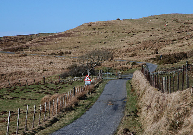
Image: © Nigel Brown Taken: 22 Mar 2010
Marks the start of the open grazing above Trefenter.
Images are licensed for reuse under creativecommons.org/licenses/by-sa/2.0
Image Location


Leaflet Map data © OpenStreetMap
Latitude
52.286097
Longitude
-4.040406