Bridgewater Canal 1976
Introduction
The photograph on this page of Bridgewater Canal 1976 by Chris Denny as part of the Geograph project.
The Geograph project started in 2005 with the aim of publishing, organising and preserving representative images for every square kilometre of Great Britain, Ireland and the Isle of Man.

There are currently over 7.5m images from over 14,400 individuals and you can help contribute to the project by visiting https://www.geograph.org.uk
Bridgewater Canal 1976
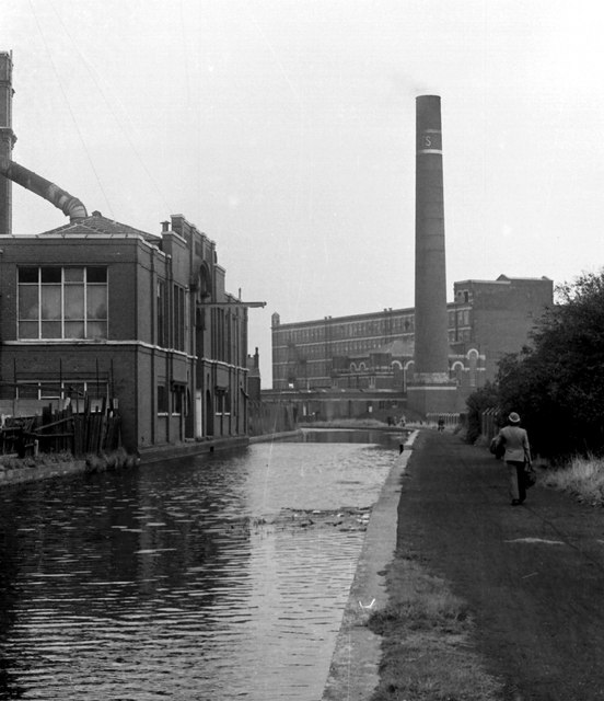
Image: © Chris Denny Taken: Unknown
The derelict Bedford Mill to the left and in the distance on the right, Butts Mill, occupied at the time by Ward and Goldstone.
Images are licensed for reuse under creativecommons.org/licenses/by-sa/2.0
Image Location
Latitude
53.491766
Longitude
-2.505786