Laployd Barton
Introduction
The photograph on this page of Laployd Barton by Derek Harper as part of the Geograph project.
The Geograph project started in 2005 with the aim of publishing, organising and preserving representative images for every square kilometre of Great Britain, Ireland and the Isle of Man.

There are currently over 7.5m images from over 14,400 individuals and you can help contribute to the project by visiting https://www.geograph.org.uk
Laployd Barton
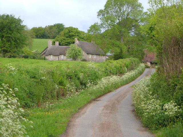
Image: © Derek Harper Taken: 29 May 2006
From along the lane to the southeast. "A superior mid C17 house" according to Cherry & Pevsner, with "three ranges around a narrow courtyard".
Images are licensed for reuse under creativecommons.org/licenses/by-sa/2.0
Image Location
Latitude
50.659475
Longitude
-3.699107