Barn at Lower Ford
Introduction
The photograph on this page of Barn at Lower Ford by Derek Harper as part of the Geograph project.
The Geograph project started in 2005 with the aim of publishing, organising and preserving representative images for every square kilometre of Great Britain, Ireland and the Isle of Man.

There are currently over 7.5m images from over 14,400 individuals and you can help contribute to the project by visiting https://www.geograph.org.uk
Barn at Lower Ford
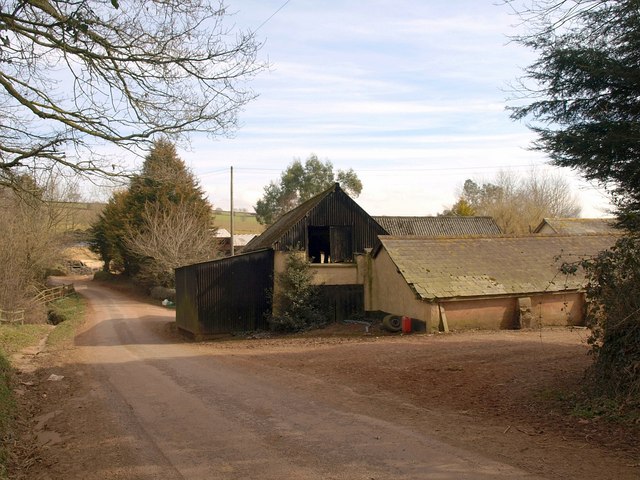
Image: © Derek Harper Taken: 16 Mar 2010
The barn and its extension is mostly C17 and C19 but, according to the listed building description at http://www.heritagegateway.org.uk/Gateway/Results_Single.aspx?uid=95348&resourceID=5 , "incorporates a C15 window". Image, Image, and Image were all taken from the stretch of lane here.
Images are licensed for reuse under creativecommons.org/licenses/by-sa/2.0
Image Location
Latitude
50.87769
Longitude
-3.449892