Lane at Lower Ford
Introduction
The photograph on this page of Lane at Lower Ford by Derek Harper as part of the Geograph project.
The Geograph project started in 2005 with the aim of publishing, organising and preserving representative images for every square kilometre of Great Britain, Ireland and the Isle of Man.

There are currently over 7.5m images from over 14,400 individuals and you can help contribute to the project by visiting https://www.geograph.org.uk
Lane at Lower Ford
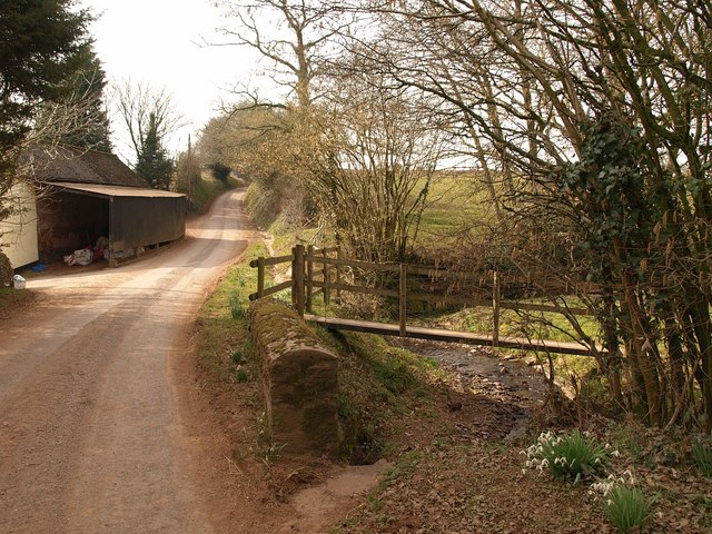
Image: © Derek Harper Taken: 16 Mar 2010
Two streams, tributaries of the Culm, meet here at the farm to form Fulford Water as the lane crosses their valleys.
Images are licensed for reuse under creativecommons.org/licenses/by-sa/2.0
Image Location
Latitude
50.877871
Longitude
-3.449756