Trinity Street, Southwark
Introduction
The photograph on this page of Trinity Street, Southwark by Stephen Craven as part of the Geograph project.
The Geograph project started in 2005 with the aim of publishing, organising and preserving representative images for every square kilometre of Great Britain, Ireland and the Isle of Man.

There are currently over 7.5m images from over 14,400 individuals and you can help contribute to the project by visiting https://www.geograph.org.uk
Trinity Street, Southwark
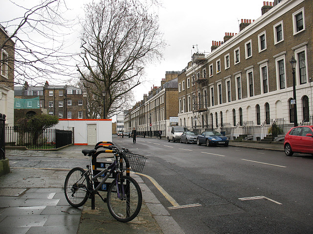
Image: © Stephen Craven Taken: 20 Mar 2010
Looking north-west from adjacent to Merrick Square. There is a cycle rack in the foreground; this section of Trinity Street is closed to motor vehicles at the eastern end and in the middle (though accessible via Falmouth Road).
Images are licensed for reuse under creativecommons.org/licenses/by-sa/2.0
Image Location
Latitude
51.49865
Longitude
-0.092698