Bradstone Brook
Introduction
The photograph on this page of Bradstone Brook by Colin Smith as part of the Geograph project.
The Geograph project started in 2005 with the aim of publishing, organising and preserving representative images for every square kilometre of Great Britain, Ireland and the Isle of Man.

There are currently over 7.5m images from over 14,400 individuals and you can help contribute to the project by visiting https://www.geograph.org.uk
Bradstone Brook
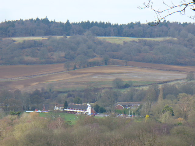
Image: © Colin Smith Taken: 21 Mar 2010
View from the northern slopes of Chinthurst Hill towards the Guildford Royal Grammar School's sports developments. In the background is the North Downs scarp slope at The Chantries.
Images are licensed for reuse under creativecommons.org/licenses/by-sa/2.0
Image Location


Leaflet Map data © OpenStreetMap
Latitude
51.212411
Longitude
-0.550398