A view of Frenze Hall taken from St Andrew's church porch
Introduction
The photograph on this page of A view of Frenze Hall taken from St Andrew's church porch by Evelyn Simak as part of the Geograph project.
The Geograph project started in 2005 with the aim of publishing, organising and preserving representative images for every square kilometre of Great Britain, Ireland and the Isle of Man.

There are currently over 7.5m images from over 14,400 individuals and you can help contribute to the project by visiting https://www.geograph.org.uk
A view of Frenze Hall taken from St Andrew's church porch
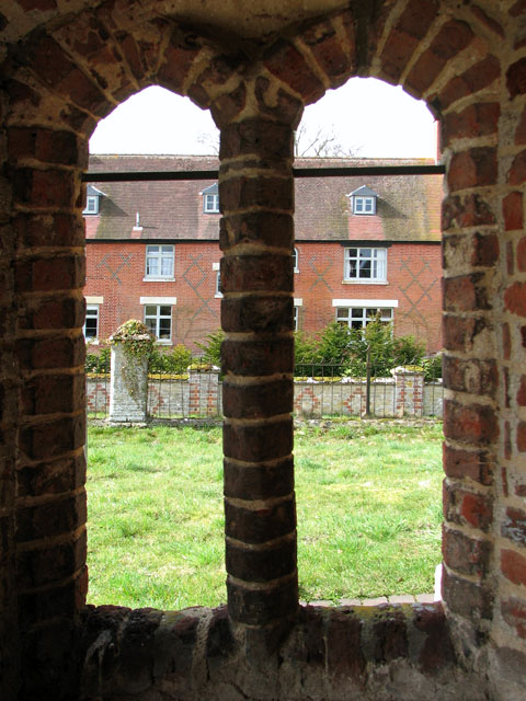
Image: © Evelyn Simak Taken: 21 Mar 2010
For a full view of the east frontage of Frenze Hall (actually Frenze farmhouse since the Hall was pulled down in the 19th century) see > http://www.geograph.org.uk/photo/1765352. For a view of the church see > http://www.geograph.org.uk/photo/1765703.
Images are licensed for reuse under creativecommons.org/licenses/by-sa/2.0
Image Location
Latitude
52.37973
Longitude
1.135443