Path to North Hill, Minehead
Introduction
The photograph on this page of Path to North Hill, Minehead by Jaggery as part of the Geograph project.
The Geograph project started in 2005 with the aim of publishing, organising and preserving representative images for every square kilometre of Great Britain, Ireland and the Isle of Man.

There are currently over 7.5m images from over 14,400 individuals and you can help contribute to the project by visiting https://www.geograph.org.uk
Path to North Hill, Minehead
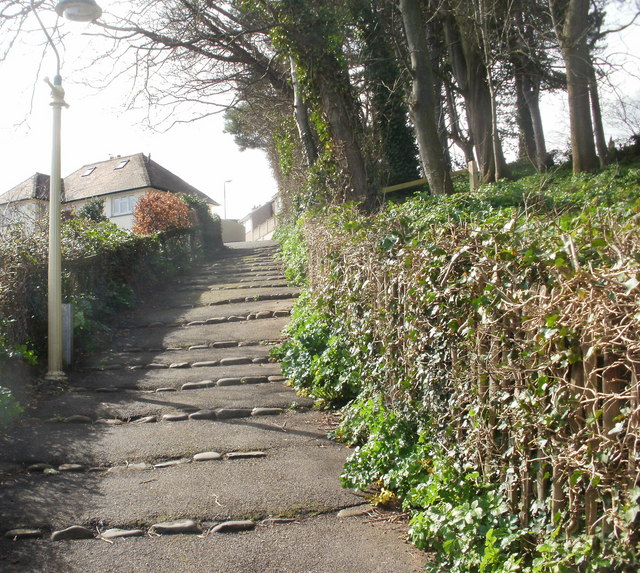
Image: © Jaggery Taken: 21 Mar 2010
Viewed from near the start of the path on the west side of Quay Street. This is only the start of the long climb from near sea level towards the Higher Town area of Minehead. Much more steep climbing lies ahead, out of view !
Images are licensed for reuse under creativecommons.org/licenses/by-sa/2.0
Image Location
Latitude
51.210205
Longitude
-3.474487