Junction of Roger's Rough Rd and Chicks Lane
Introduction
The photograph on this page of Junction of Roger's Rough Rd and Chicks Lane by N Chadwick as part of the Geograph project.
The Geograph project started in 2005 with the aim of publishing, organising and preserving representative images for every square kilometre of Great Britain, Ireland and the Isle of Man.

There are currently over 7.5m images from over 14,400 individuals and you can help contribute to the project by visiting https://www.geograph.org.uk
Junction of Roger's Rough Rd and Chicks Lane
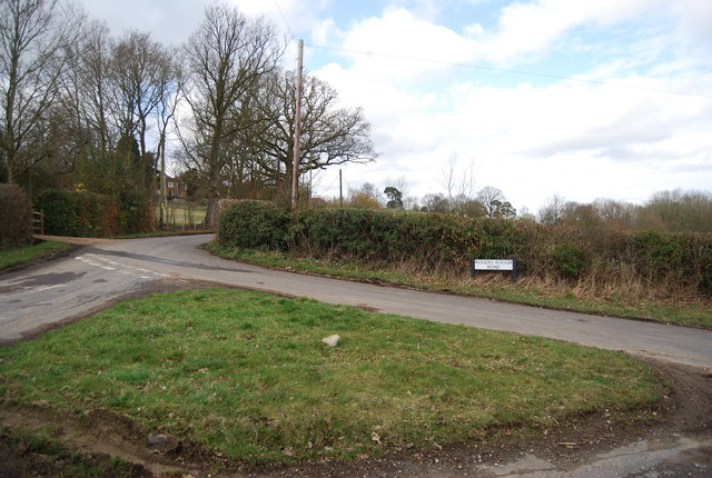
Image: © N Chadwick Taken: 21 Mar 2010
Both of these roads come from the small village of Kilndown.
Images are licensed for reuse under creativecommons.org/licenses/by-sa/2.0
Image Location


Leaflet Map data © OpenStreetMap
Latitude
51.088688
Longitude
0.429606