Arable land near Lower Beobridge, Staffordshire
Introduction
The photograph on this page of Arable land near Lower Beobridge, Staffordshire by Roger D Kidd as part of the Geograph project.
The Geograph project started in 2005 with the aim of publishing, organising and preserving representative images for every square kilometre of Great Britain, Ireland and the Isle of Man.

There are currently over 7.5m images from over 14,400 individuals and you can help contribute to the project by visiting https://www.geograph.org.uk
Arable land near Lower Beobridge, Staffordshire
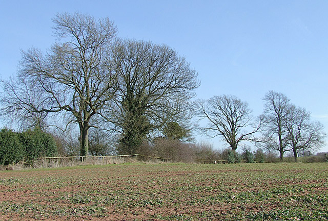
Image: © Roger D Kidd Taken: 16 Mar 2010
Following a long cold winter (night frosts until a day or so before this photograph) this rape crop is several weeks behind in its spring growth. The bridleway from the road to here has been diverted further away from Beobridge Grange, and current maps do not show this.
Images are licensed for reuse under creativecommons.org/licenses/by-sa/2.0
Image Location
Latitude
52.517558
Longitude
-2.316146