School Lane, Bekesbourne
Introduction
The photograph on this page of School Lane, Bekesbourne by Nick Smith as part of the Geograph project.
The Geograph project started in 2005 with the aim of publishing, organising and preserving representative images for every square kilometre of Great Britain, Ireland and the Isle of Man.

There are currently over 7.5m images from over 14,400 individuals and you can help contribute to the project by visiting https://www.geograph.org.uk
School Lane, Bekesbourne
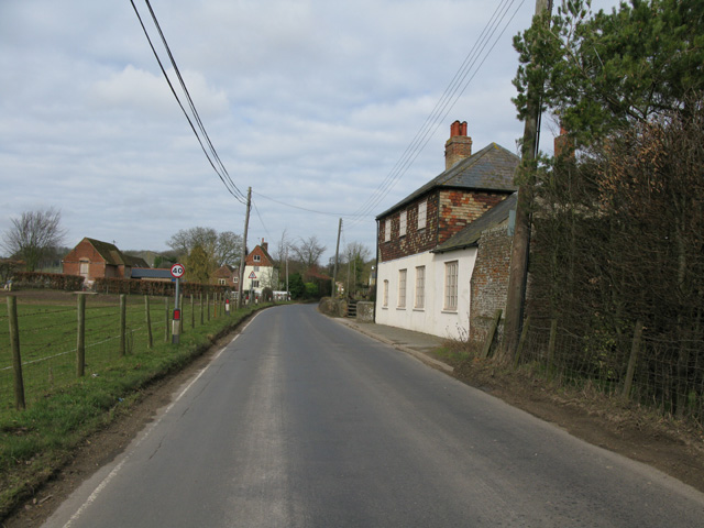
Image: © Nick Smith Taken: 14 Mar 2010
The house on the right was Bekesbourne primary school until the early 1970's, now a private house. Parsonage Farm is further along on the left.
Images are licensed for reuse under creativecommons.org/licenses/by-sa/2.0
Image Location
Latitude
51.258893
Longitude
1.141672