Peelings Lane
Introduction
The photograph on this page of Peelings Lane by Simon Carey as part of the Geograph project.
The Geograph project started in 2005 with the aim of publishing, organising and preserving representative images for every square kilometre of Great Britain, Ireland and the Isle of Man.

There are currently over 7.5m images from over 14,400 individuals and you can help contribute to the project by visiting https://www.geograph.org.uk
Peelings Lane
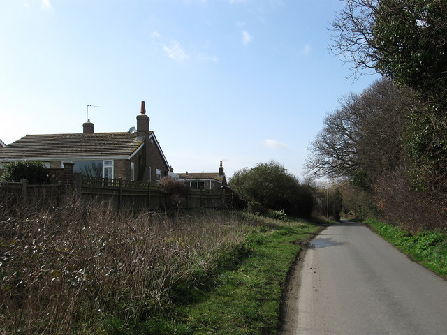
Image: © Simon Carey Taken: 21 Mar 2010
The old road to Hailsham via Hankham from Westham now a single track country lane that forms the northern boundary of the village of Westham. The bungalows to the left are in Castle View Gardens and were built on what was once known as Barrack Field which itself was named after the site of a Napoleonic barracks.
Images are licensed for reuse under creativecommons.org/licenses/by-sa/2.0
Image Location
Latitude
50.819947
Longitude
0.319221