Wilbury Avenue
Introduction
The photograph on this page of Wilbury Avenue by Simon Carey as part of the Geograph project.
The Geograph project started in 2005 with the aim of publishing, organising and preserving representative images for every square kilometre of Great Britain, Ireland and the Isle of Man.

There are currently over 7.5m images from over 14,400 individuals and you can help contribute to the project by visiting https://www.geograph.org.uk
Wilbury Avenue
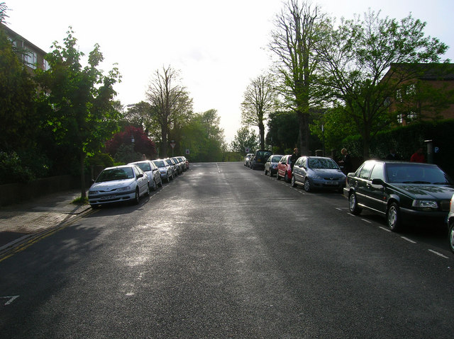
Image: © Simon Carey Taken: 28 May 2006
Looking towards the junction with the B2186 The Drive. The road continues beyond to Hove Park Villas. Devonshire Court is to the left and White Lodge to the right. The road was laid out in 1891.
Images are licensed for reuse under creativecommons.org/licenses/by-sa/2.0
Image Location


Leaflet Map data © OpenStreetMap
Latitude
50.83462
Longitude
-0.166621