Batley Carr Station
Introduction
The photograph on this page of Batley Carr Station by David Rogers as part of the Geograph project.
The Geograph project started in 2005 with the aim of publishing, organising and preserving representative images for every square kilometre of Great Britain, Ireland and the Isle of Man.

There are currently over 7.5m images from over 14,400 individuals and you can help contribute to the project by visiting https://www.geograph.org.uk
Batley Carr Station
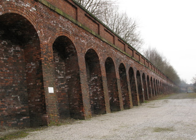
Image: © David Rogers Taken: 19 Mar 2010
Former station site below the Leeds to Dewsbury main line.
Images are licensed for reuse under creativecommons.org/licenses/by-sa/2.0
Image Location
Latitude
53.700252
Longitude
-1.629325