Burley Lane, Horsforth
Introduction
The photograph on this page of Burley Lane, Horsforth by Rich Tea as part of the Geograph project.
The Geograph project started in 2005 with the aim of publishing, organising and preserving representative images for every square kilometre of Great Britain, Ireland and the Isle of Man.

There are currently over 7.5m images from over 14,400 individuals and you can help contribute to the project by visiting https://www.geograph.org.uk
Burley Lane, Horsforth
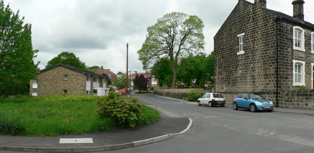
Image: © Rich Tea Taken: 27 May 2006
From where it crosses Regent Road. See also Image] which continues the view to the right. Since this picture was taken in 2006, Rosemary Thompson House has been built on the grassy area to the left - see Image
Images are licensed for reuse under creativecommons.org/licenses/by-sa/2.0
Image Location


Leaflet Map data © OpenStreetMap
Latitude
53.833394
Longitude
-1.638787