Ploughed field near Norton
Introduction
The photograph on this page of Ploughed field near Norton by Rod Allday as part of the Geograph project.
The Geograph project started in 2005 with the aim of publishing, organising and preserving representative images for every square kilometre of Great Britain, Ireland and the Isle of Man.

There are currently over 7.5m images from over 14,400 individuals and you can help contribute to the project by visiting https://www.geograph.org.uk
Ploughed field near Norton
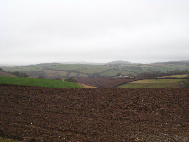
Image: © Rod Allday Taken: 20 Mar 2010
Looking north up the Tamar Valley to the wooded mound of Castlepark Hill.
Images are licensed for reuse under creativecommons.org/licenses/by-sa/2.0
Image Location
Latitude
50.556274
Longitude
-4.321395