Ashfield House, Standish
Introduction
The photograph on this page of Ashfield House, Standish by Edward Marshall as part of the Geograph project.
The Geograph project started in 2005 with the aim of publishing, organising and preserving representative images for every square kilometre of Great Britain, Ireland and the Isle of Man.

There are currently over 7.5m images from over 14,400 individuals and you can help contribute to the project by visiting https://www.geograph.org.uk
Ashfield House, Standish
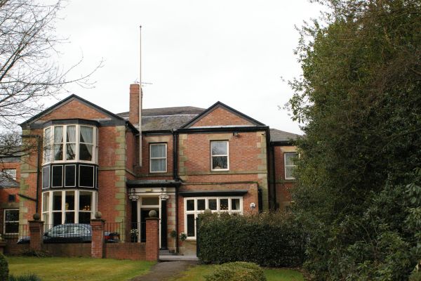
Image: © Edward Marshall Taken: 21 Mar 2010
This fine building is now a hotel. It has been Council Offices with a baby clinic and even a ball room.
Images are licensed for reuse under creativecommons.org/licenses/by-sa/2.0
Image Location
Latitude
53.580131
Longitude
-2.652442