The Ironbridge 1/2 Marathon 2010 goes under the B4373
Introduction
The photograph on this page of The Ironbridge 1/2 Marathon 2010 goes under the B4373 by Richard Law as part of the Geograph project.
The Geograph project started in 2005 with the aim of publishing, organising and preserving representative images for every square kilometre of Great Britain, Ireland and the Isle of Man.

There are currently over 7.5m images from over 14,400 individuals and you can help contribute to the project by visiting https://www.geograph.org.uk
The Ironbridge 1/2 Marathon 2010 goes under the B4373
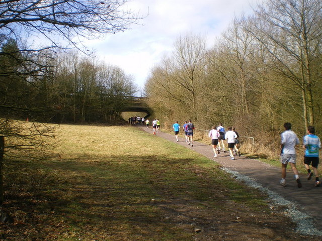
Image: © Richard Law Taken: 21 Mar 2010
The Rough Park Way goes under the B4373 here, just north of Woodside.
Images are licensed for reuse under creativecommons.org/licenses/by-sa/2.0
Image Location
Latitude
52.643911
Longitude
-2.461066