Langtons, Hornchurch
Introduction
The photograph on this page of Langtons, Hornchurch by Glyn Baker as part of the Geograph project.
The Geograph project started in 2005 with the aim of publishing, organising and preserving representative images for every square kilometre of Great Britain, Ireland and the Isle of Man.

There are currently over 7.5m images from over 14,400 individuals and you can help contribute to the project by visiting https://www.geograph.org.uk
Langtons, Hornchurch
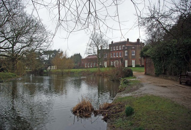
Image: © Glyn Baker Taken: 20 Mar 2010
Langtons was given to the Borough of Hornchurch in 1929, it was used as council offices until 1965 when Hornchurch became part of Havering. See http://www.friendsoflangtonsgardens.co.uk/ and http://en.wikipedia.org/wiki/Langtons for more information
Images are licensed for reuse under creativecommons.org/licenses/by-sa/2.0
Image Location
Latitude
51.565768
Longitude
0.217448