Footpath down from Old Lindley Edge
Introduction
The photograph on this page of Footpath down from Old Lindley Edge by Humphrey Bolton as part of the Geograph project.
The Geograph project started in 2005 with the aim of publishing, organising and preserving representative images for every square kilometre of Great Britain, Ireland and the Isle of Man.

There are currently over 7.5m images from over 14,400 individuals and you can help contribute to the project by visiting https://www.geograph.org.uk
Footpath down from Old Lindley Edge
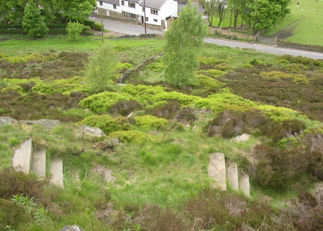
Image: © Humphrey Bolton Taken: 27 May 2006
Old Lindley Road is at the bottom. This hillside was transferred from Stainland and Old Lindley UD to Huddersfield County Borough when the UD was abolished in 1937. There was a recreation ground at the top, still apparently a public open space, and also a 'Crippled Children's Home'. It would seem likely that the zigzag steps were made at the same time as the recreation ground.
Images are licensed for reuse under creativecommons.org/licenses/by-sa/2.0
Image Location
Latitude
53.664691
Longitude
-1.851651