Towards A1
Introduction
The photograph on this page of Towards A1 by Andrew Tatlow as part of the Geograph project.
The Geograph project started in 2005 with the aim of publishing, organising and preserving representative images for every square kilometre of Great Britain, Ireland and the Isle of Man.

There are currently over 7.5m images from over 14,400 individuals and you can help contribute to the project by visiting https://www.geograph.org.uk
Towards A1
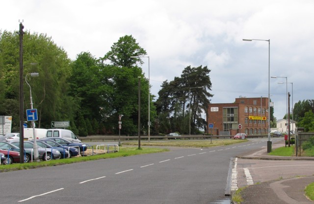
Image: © Andrew Tatlow Taken: 26 May 2006
Sandy is one of the unfortunate places that had a major road passing straight through its middle. Quite recently a small section of new road was built to move the A1 a few yards to the west. A slight improvement?
Images are licensed for reuse under creativecommons.org/licenses/by-sa/2.0
Image Location
Latitude
52.133351
Longitude
-0.300803