Track and oak trees near Beobridge, Worcestershire
Introduction
The photograph on this page of Track and oak trees near Beobridge, Worcestershire by Roger D Kidd as part of the Geograph project.
The Geograph project started in 2005 with the aim of publishing, organising and preserving representative images for every square kilometre of Great Britain, Ireland and the Isle of Man.

There are currently over 7.5m images from over 14,400 individuals and you can help contribute to the project by visiting https://www.geograph.org.uk
Track and oak trees near Beobridge, Worcestershire
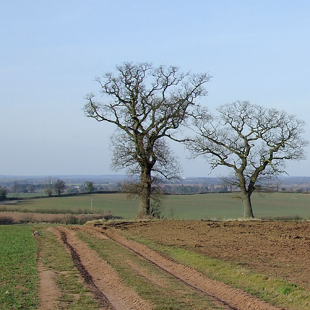
Image: © Roger D Kidd Taken: 16 Mar 2010
The (Triassic) Bunter Sandstone underlying rock gives the reddish colour to the sandy soil. Claverley is beyond the oak tree on the right, about one and a half miles (2.5 km) north. The bridleway along this track divides by the trees, going north-west to Lower Beobridge, and north-north-west towards Honeybourne Grange and Upper Beobridge.
Images are licensed for reuse under creativecommons.org/licenses/by-sa/2.0
Image Location
Latitude
52.515123
Longitude
-2.312062