Charterhouse Road
Introduction
The photograph on this page of Charterhouse Road by Ian Capper as part of the Geograph project.
The Geograph project started in 2005 with the aim of publishing, organising and preserving representative images for every square kilometre of Great Britain, Ireland and the Isle of Man.

There are currently over 7.5m images from over 14,400 individuals and you can help contribute to the project by visiting https://www.geograph.org.uk
Charterhouse Road
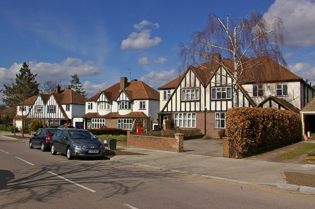
Image: © Ian Capper Taken: 15 Mar 2010
One of a number of roads in southeast Orpington named after public schools. The outer two semis here, with large double gables are one of a number of such examples in Sevenoaks Road and the lower reaches of the various roads that join it - for example see Image, Image and Image
Images are licensed for reuse under creativecommons.org/licenses/by-sa/2.0
Image Location
Latitude
51.368648
Longitude
0.097499