Leazes Crescent
Introduction
The photograph on this page of Leazes Crescent by Andrew Curtis as part of the Geograph project.
The Geograph project started in 2005 with the aim of publishing, organising and preserving representative images for every square kilometre of Great Britain, Ireland and the Isle of Man.

There are currently over 7.5m images from over 14,400 individuals and you can help contribute to the project by visiting https://www.geograph.org.uk
Leazes Crescent
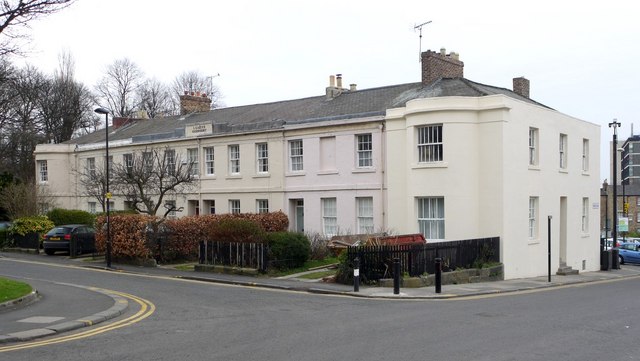
Image: © Andrew Curtis Taken: 18 Mar 2010
An 1829 development by Thomas Oliver for Richard Grainger. Much less grand than their neighbouring scheme Image
Images are licensed for reuse under creativecommons.org/licenses/by-sa/2.0
Image Location
Latitude
54.976315
Longitude
-1.619548