Leaving Wales
Introduction
The photograph on this page of Leaving Wales by Natasha Ceridwen de Chroustchoff as part of the Geograph project.
The Geograph project started in 2005 with the aim of publishing, organising and preserving representative images for every square kilometre of Great Britain, Ireland and the Isle of Man.

There are currently over 7.5m images from over 14,400 individuals and you can help contribute to the project by visiting https://www.geograph.org.uk
Leaving Wales
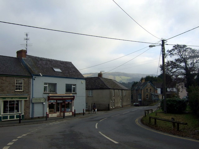
Image: © Natasha Ceridwen de Chroustchoff Taken: 6 Feb 2010
The road here curves around the edge of Hay towards the Dulas Brook which defines the border with England, crossing from Powys (formerly Breconshire/Sir Brecheiniog) into Herefordshire. Hay, originally The Hay, was a defended Norman border town whose name means the enclosure (la haie). Different parts of it used to be known locally as English Hay and Welsh Hay.
Images are licensed for reuse under creativecommons.org/licenses/by-sa/2.0
Image Location
Latitude
52.073445
Longitude
-3.122233