Junction of Goddington Lane with Wyvern Close
Introduction
The photograph on this page of Junction of Goddington Lane with Wyvern Close by Ian Capper as part of the Geograph project.
The Geograph project started in 2005 with the aim of publishing, organising and preserving representative images for every square kilometre of Great Britain, Ireland and the Isle of Man.

There are currently over 7.5m images from over 14,400 individuals and you can help contribute to the project by visiting https://www.geograph.org.uk
Junction of Goddington Lane with Wyvern Close
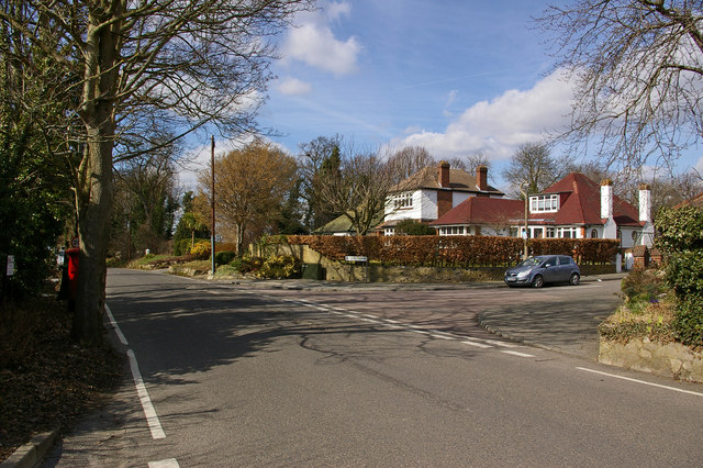
Image: © Ian Capper Taken: 15 Mar 2010
Goddington Lane was before the development of this area an old country lane, already shown on early 19th century maps. In the background on the left can be seen a Coal Tax Post (see Image).
Images are licensed for reuse under creativecommons.org/licenses/by-sa/2.0
Image Location
Latitude
51.365691
Longitude
0.106386