Egg Arch Farm
Introduction
The photograph on this page of Egg Arch Farm by Ian Capper as part of the Geograph project.
The Geograph project started in 2005 with the aim of publishing, organising and preserving representative images for every square kilometre of Great Britain, Ireland and the Isle of Man.

There are currently over 7.5m images from over 14,400 individuals and you can help contribute to the project by visiting https://www.geograph.org.uk
Egg Arch Farm
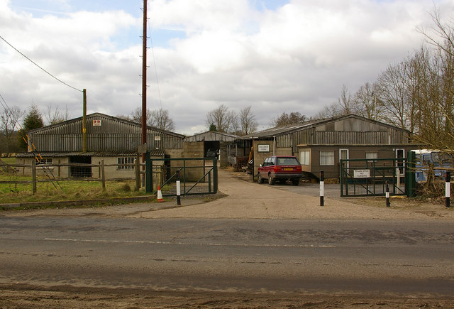
Image: © Ian Capper Taken: 6 Mar 2010
In Clay Lane. The name presumably derives from the shape of the nearby railway bridge (see Image).
Images are licensed for reuse under creativecommons.org/licenses/by-sa/2.0
Image Location
Latitude
51.227289
Longitude
-0.146706