Colne: View down Hagg Street
Introduction
The photograph on this page of Colne: View down Hagg Street by Dr Neil Clifton as part of the Geograph project.
The Geograph project started in 2005 with the aim of publishing, organising and preserving representative images for every square kilometre of Great Britain, Ireland and the Isle of Man.

There are currently over 7.5m images from over 14,400 individuals and you can help contribute to the project by visiting https://www.geograph.org.uk
Colne: View down Hagg Street
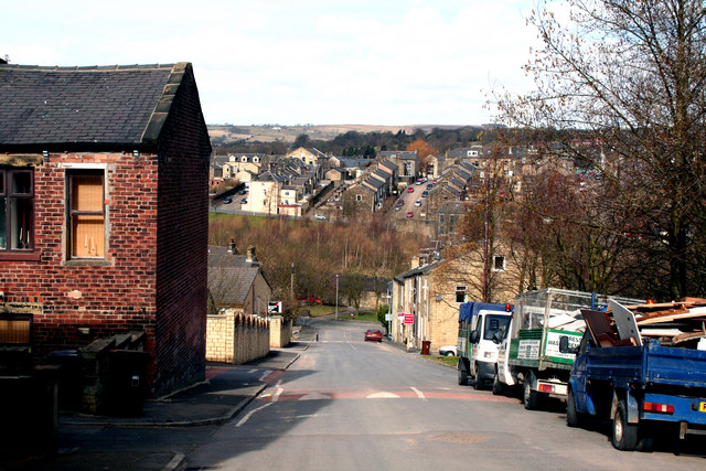
Image: © Dr Neil Clifton Taken: 19 Mar 2010
At the bottom, Hagg Street forms a T-junction with Green Road. In this photograph, the building on the left, which is No 32 Atkinson Street, is of interest, as there are very few brick-built buildings in the town.
Images are licensed for reuse under creativecommons.org/licenses/by-sa/2.0
Image Location


Leaflet Map data © OpenStreetMap
Latitude
53.8525
Longitude
-2.177821