Farmland at Blakeshall, Worcestershire
Introduction
The photograph on this page of Farmland at Blakeshall, Worcestershire by Roger D Kidd as part of the Geograph project.
The Geograph project started in 2005 with the aim of publishing, organising and preserving representative images for every square kilometre of Great Britain, Ireland and the Isle of Man.

There are currently over 7.5m images from over 14,400 individuals and you can help contribute to the project by visiting https://www.geograph.org.uk
Farmland at Blakeshall, Worcestershire
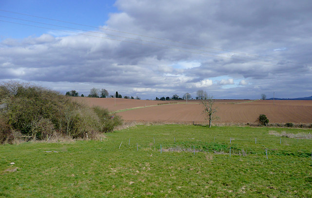
Image: © Roger D Kidd Taken: 15 Mar 2010
The reddish colour of the soil is due to the Bunter sandstone rock and pebble beds of the area.
Images are licensed for reuse under creativecommons.org/licenses/by-sa/2.0
Image Location
Latitude
52.427423
Longitude
-2.249041