Hamme House
Introduction
The photograph on this page of Hamme House by Ian Capper as part of the Geograph project.
The Geograph project started in 2005 with the aim of publishing, organising and preserving representative images for every square kilometre of Great Britain, Ireland and the Isle of Man.

There are currently over 7.5m images from over 14,400 individuals and you can help contribute to the project by visiting https://www.geograph.org.uk
Hamme House
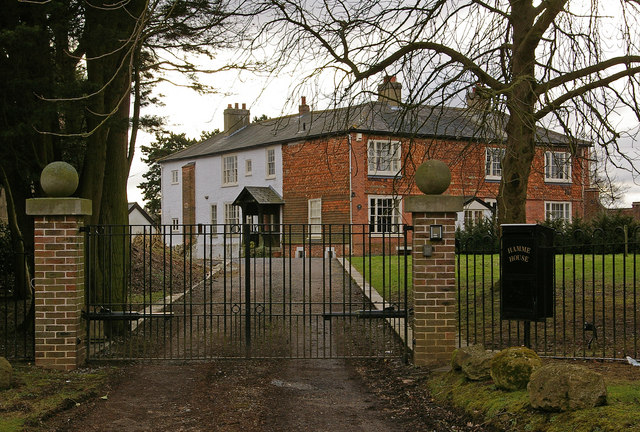
Image: © Ian Capper Taken: 6 Mar 2010
Grade II listed house on Kings Mill Lane, dating from the 16th century. For listing particulars see www.historicengland.org.uk/listing/the-list/list-entry/1377596
Images are licensed for reuse under creativecommons.org/licenses/by-sa/2.0
Image Location
Latitude
51.222834
Longitude
-0.142502