Colne: Harold Street
Introduction
The photograph on this page of Colne: Harold Street by Dr Neil Clifton as part of the Geograph project.
The Geograph project started in 2005 with the aim of publishing, organising and preserving representative images for every square kilometre of Great Britain, Ireland and the Isle of Man.

There are currently over 7.5m images from over 14,400 individuals and you can help contribute to the project by visiting https://www.geograph.org.uk
Colne: Harold Street
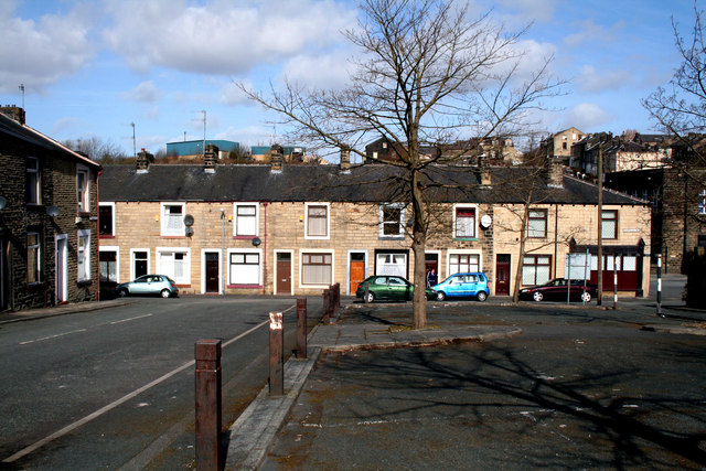
Image: © Dr Neil Clifton Taken: 19 Mar 2010
At the right of the photograph, Harold Street makes a T-junction with Knotts Lane. The sunlit houses have even numbers starting from 2 at the right hand end. Just off picture to the left, Harold Street ends at a T-junction with Hawley Street.
Images are licensed for reuse under creativecommons.org/licenses/by-sa/2.0
Image Location


Leaflet Map data © OpenStreetMap
Latitude
53.852678
Longitude
-2.178886