The Winding Road
Introduction
The photograph on this page of The Winding Road by Anne Burgess as part of the Geograph project.
The Geograph project started in 2005 with the aim of publishing, organising and preserving representative images for every square kilometre of Great Britain, Ireland and the Isle of Man.

There are currently over 7.5m images from over 14,400 individuals and you can help contribute to the project by visiting https://www.geograph.org.uk
The Winding Road
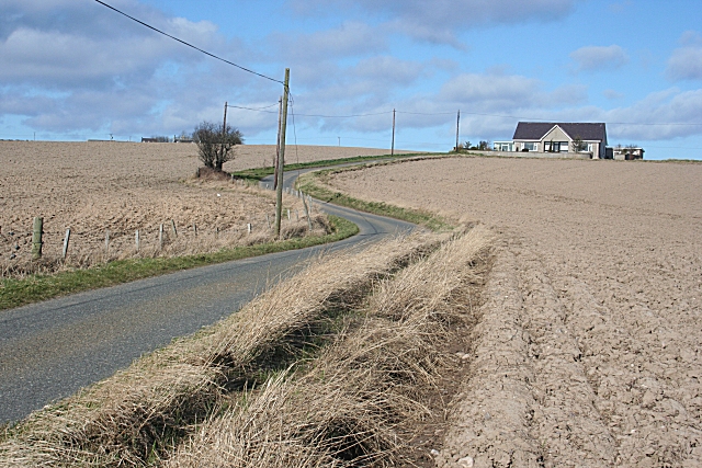
Image: © Anne Burgess Taken: 19 Mar 2010
It doesn't look quite so winding on the map, but from this angle it does. It turns sharply right in front of the modern bungalow on its way up to Broom.
Images are licensed for reuse under creativecommons.org/licenses/by-sa/2.0
Image Location
Latitude
57.680305
Longitude
-2.760599