Mason's Bridge Road
Introduction
The photograph on this page of Mason's Bridge Road by Ian Capper as part of the Geograph project.
The Geograph project started in 2005 with the aim of publishing, organising and preserving representative images for every square kilometre of Great Britain, Ireland and the Isle of Man.

There are currently over 7.5m images from over 14,400 individuals and you can help contribute to the project by visiting https://www.geograph.org.uk
Mason's Bridge Road
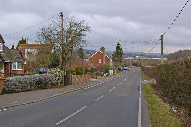
Image: © Ian Capper Taken: 6 Mar 2010
A mix of housing, with East Surrey Hospital in the distance.
Images are licensed for reuse under creativecommons.org/licenses/by-sa/2.0
Image Location
Latitude
51.215448
Longitude
-0.159381